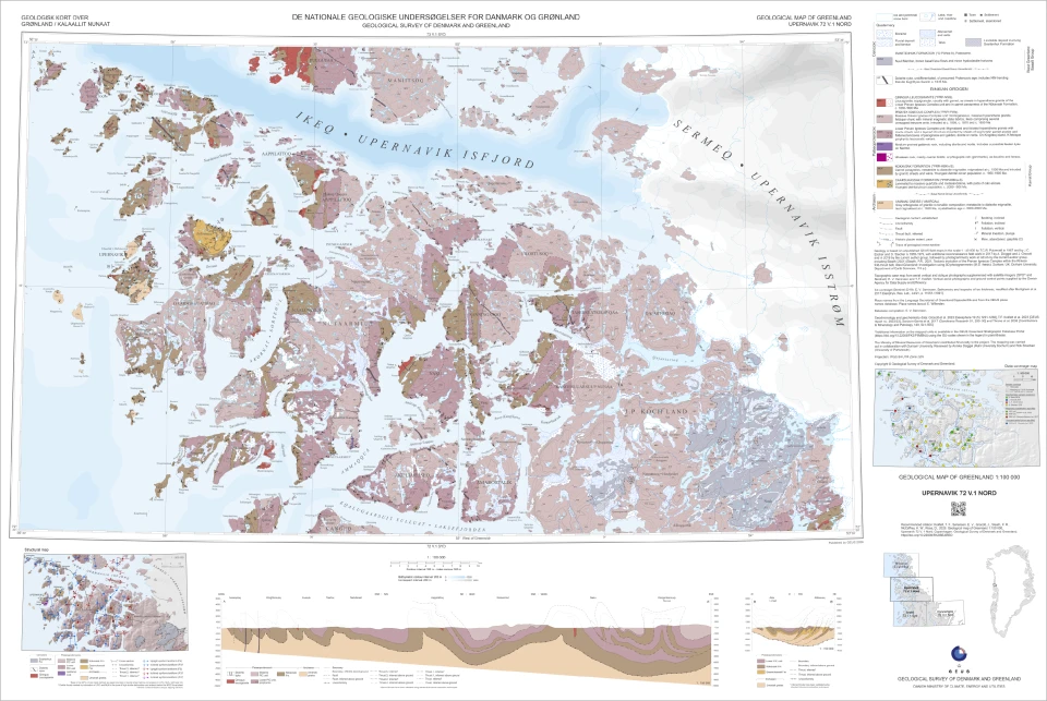
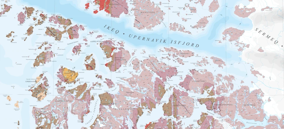
The UPERNAVIK map sheet (72°30′–73°N) covers the northern part of the Upernavik region and encompasses a complex coastal landscape of fjords and islands. The map documents the architecture of the Paleoproterozoic Rinkian Orogen – an ancient mountain belt that formed along the margin of the Archean Rae Craton approximately 1.9 billion years ago.
“The map provides an entirely new and much more detailed picture of how one of Greenland’s largest intrusive complexes was formed and subsequently deformed,” explains Thomas Find Kokfelt, senior researcher at GEUS.